
We can’t all live on the historic canals of the old Dutch cities so let’s have a look at the short history of Dutch spatial planning and towns like Zoetermeer, Purmerend and Hoofddorp and how spatial planning in the Netherlands has changed throughout the years.
You’re driving down the A2, not particularly enjoying the traffic but enjoying the scenery of cows, sheep and the occasional windmill. When all of a sudden: bamn! There it is, a whole new city with rows of identical houses in the middle of the ‘polder’. And just a bit further down the road there is supposed to be a whole town of houses on winding 70’s style streets. But you can’t really see it because it is located behind a ‘geluidswal’.
Why is there so much diversity in building on such a small piece of land?
Read up the short history of Dutch spatial planning since the 1950’s. Also known as the story of inconsistent governance.
Go East
At the end of the 1950’s Dutch women were collectively catching their breath after the big babyboom and were faced with another problem: where to leave all these children? Cities in the West were considered overcrowded, dirty and unhealthy for children to grow up. The Dutch government looked to the East, North and South. Plenty of space there! And everybody would have one or two cars in the near future, so it would be no problem that these places are actually a bit far from the Randstad. Long story short: towns like Lelystad, Zoetermeer and Purmerend were designed and built.

Groeikernen
Turns out in the 70’s that these places were actually not enough to household the growing population. At the same time farmland was also desperately needed to feed our appetite and make sure we would remain the tallest people in the world. Smaller sites closer to the cities were appointed to become ‘groeikernen’. The smaller towns were mainly meant to sleep in, not to work in. Places like Houten, IJsselstein and Hoofddorp bursted out the ground, like daffodils in spring.
No-go areas
But in the 80’s the downside of this policy was heavily felt in the four big cities. As all the families moved out, who remained? People who couldn’t afford to move. Like big immigrant families or Dutch workingclass families. Combined with a rising unemployment rate and problems related to heroin use, some urban areas completely impoverished. The Schilderwijk in The Hague, De Pijp in Amsterdam or Spangen in Rotterdam were no-go areas in the 1980’s. Furthermore, having one or two cars per household and daily usage of those care to go to work or the shops, didn’t turn out to be all that great.

Vinex
We needed to get people back to the cities, but how? Nobody would want to live in these old districts with their 19th century houses and narrow old lanes, right? Well that’s at least what we all thought in the beginning of the 90’s. We want to live near the city, not in them. That’s when ‘vinexwijken’ were created. Big urban areas with a lot of high quality housing for families near cities. Polders near Den Haag, Utrecht, Rotterdam and lots of other smaller cities were the sight of cranes, shovels and bricks. In the economic boom of the late 90’s, rows and rows of houses were built. Here people could enjoy their cooking islands, monsoon showers, walk-in closets and other luxuries nobody actually really needs.
Back to the city
Although the building never seems to stop in vinexwijken, the Dutch government actually decided in 2005 that it would break with the top-down spatial planning tradition. In other words: let’s just leave it to the municipalities since we clearly can’t seem to make up our mind. So now what? Well, after our parents collectively left the cities, we are returning to them. Mainly because of work, but also for lots of ‘play’.
Transforming the cities
Dutch municipalities now aim at making most use of the land and space already available in cities to house more people. Take for example the situation of unappealing abandoned office buildings from the 70’s and 80’s that are now transformed into apartments. In Utrecht apartments are built on top of the newly opened central station. And everyone loves the new life of old industrial buildings as apartments or bars and restaurants. Which hipster wouldn’t want to live in an warehouse turned into loft in Katendrecht, Rotterdam?

Oh if only we had foreseen in the 70’s that we would all be living in the cities again, wearing beards, on the hunt for vintage racing bikes and aspiring to grow our own tomatoes on our balconies…

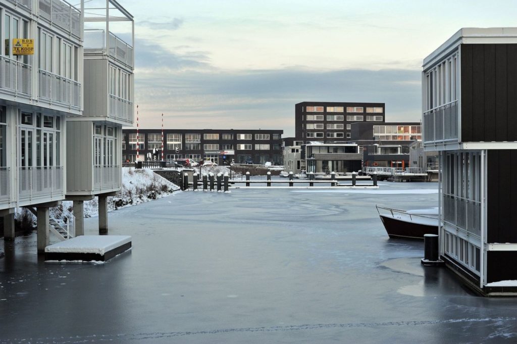
Floating villages
Rapidly rising sea levels are just one of the many effects of climate change that a myriad of countries around the world are battling against. This is a grave problem for the Netherlands as only about 50% of the country sits above sea level and the lowest part of Holland is a whopping 6.7 metres below sea level. So the Dutch are getting creative and using age-old technology to explore the possibility of life on the water. Floating villages, like IJBurg in Amsterdam, are becoming increasingly popular. Could all homes be built on water in the future?
So there you have it, a brief history of Dutch spatial planning. Did you learn anything new?
Hi I love Dutch Review! It’s always interesting, funny and helpful. Thanks!
[…] all you have ever dreamt of is the ultimate suburbian life, in one of the more sleepy neighborhoods of Utrecht, then move to Leidsche Rijn! This area was […]