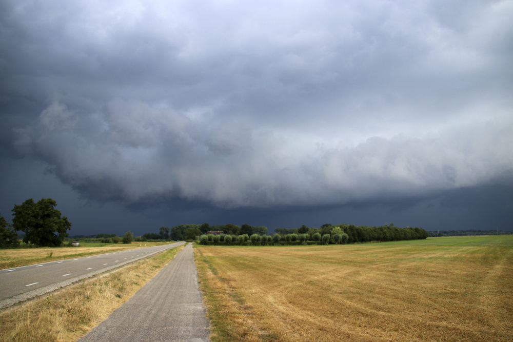
Wait, what?! Yes, you’ve read right. It might be all sunny and blue skies right now, but later in the day there’s a thunderstorm incoming. ⛈
Ugh, and we’re here with our sunglasses on. The bad weather is sweeping over from the British Isles towards the lowlands, says Buienradar.
Code yellow for the North-East
From early noon onwards, clouds will begin building up over the North-Eastern part of the Netherlands. Here, rain and strong winds of up to 70 km/h can be expected.
Phew, that’s pretty strong! This is why a code yellow has been issued for the North-East of the country. (Meaning: stay inside and try to avoid being swept off your fiets by a strong gust of wind!)
Temperatures here will be around the 17-degree mark. In the South-East of the country, it’s a bit warmer and temperatures can reach up to 20 degrees. ☀️
Let op: The code yellow warning does not apply to the regions Friesland, Groningen, Drenthe, and the Wadden Islands, says RTL Nieuws.
Things will calm down in the evening
After a stormy afternoon, the winds and rain will start to ease up towards the evening. It can get misty on the coast tho — and pretty cold.
Temperatures at night might even drop to 5 degrees. 🌡
How are you gonna avoid this incoming thunderstorm? Tell us in the comments!


