
Before you think about sunbathing, scuba diving, and sipping cocktails on Dutch islands in the Caribbean, let us draw your attention to the Wadden Islands.
They make a belt off the bight of mainland Germany and the Netherlands, in an area known as the Wadden Sea, and you don’t want to miss them.
Never heard of the Wadden Islands before? Well, they’re actually old news. The first inhabitants were recorded as early as 800 AD!
So, what do these islands look like today, and what more can we learn about their history?
This post might have affiliate links that help us write the articles you love, at no extra cost to you. Read our statement.
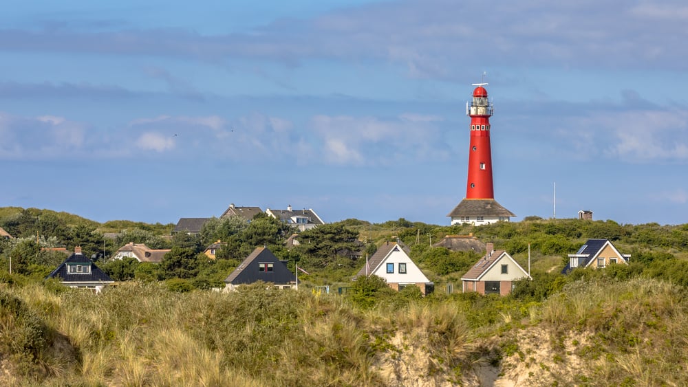
🏖️ Texel: the largest Wadden Island
The beautiful island (the Frisian word is phonetically pronounced “Tessel”) has nearly 14,000 inhabitants.

A quarter of this large island is a protected nature reserve, attracting the hundreds of thousands of tourists who visit the island each year. Tessel is wonderful for long bike tours and its stunning beaches.
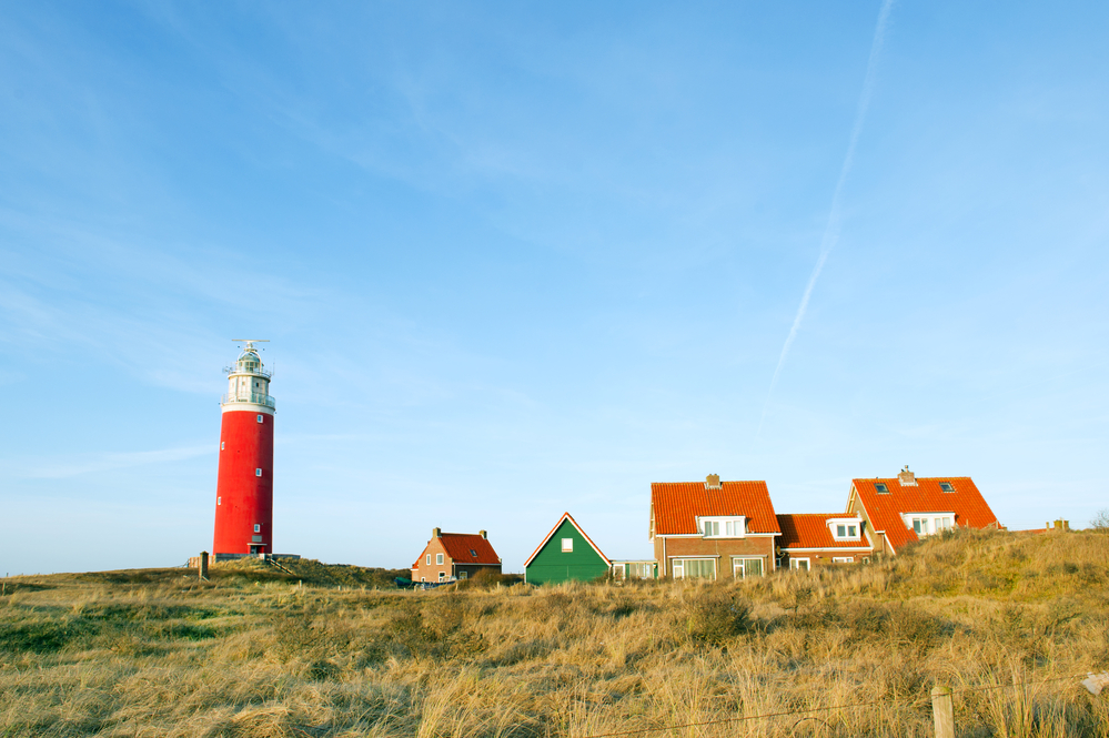
The island is known for the high number of birds that live there and the endless dunes in the area. Do you love forest trails, endless fields of sand, and 19th-century lighthouses? Well, this is the place to be.
READ MORE | 17 adventurous things to do in Texel in 2026
And the cherry on top: you can visit the lovely Ecomare nature museum, aquarium and wildlife sanctuary for seals and birds. But let op! Your heart may melt when you “sea” the seals poking their faces out of the water.
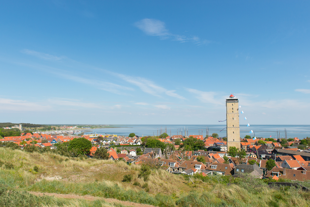
🪖 Vlieland: a Dutch island with a military history
The next island in line is Vlieland. This one is quite a lot smaller than Texel, with little more than a thousand inhabitants.
During World War II, Nazi Germany utilised the island as part of the German Atlantic Wall project. At one point, there were more soldiers than locals occupying the island!

READ MORE | 8 unmissable movies about the Netherlands in WWII
Make sure to check out Vlieland’s lighthouse for some great views. After that, catch a free open-air film screening at Podium Vlieland or go horseback riding before settling into some beach yoga.
🌾 Terschelling: a touristic and agricultural island
Between Vlieland and Ameland sits Terschelling. This particular Dutch island has quite a dense and intense history, particularly a bloody past that goes back much further than WWII.
In 1666, the Brits were hellbent on disrupting Dutch trade routes and narrowing the competition in European trade. So, how did they go about ridding the Dutch of their dominance in global trade?
By bombarding them at Terschelling, annihilating 150 Dutch ships, raiding, and burning the island.
READ MORE | What was the VOC? The Dutch East India Company explained

The island was consumed in such a blaze that it would be known as “Holmes’ Bonfire” after the British general Sir Robert Holmes. One year later, the Dutch retaliated and defeated the Brits in the ‘Battle of Chatham’, ending their disputes.
Today, Terschelling survives on tourism and a bit of agriculture. There is much to do and see — you can learn about the Netherlands’ history with the British, drive a Land Rover on the beach, or visit the shipwreck museum.
🌊 Ameland: a quiet beach getaway
Just 3,500 people live in Ameland, fondly referred to as Amelanders. Hollum, Ballum, Nes, and Buren are the largest villages left on Ameland. There were others, but sadly, the ocean has reclaimed them over time.
This island, too, has a rich history. In 1813, the Dutch Royal Family incorporated Ameland into its constitution as part of Friesland, and it has since been recognised as an official part of the Netherlands.
READ MORE | 10 hidden gems in the Netherlands: unique places you wouldn’t think to visit
More than a century later, in 1940, the German military shipped troops out to Ameland, where they took control of the island.
The Allies never engaged in combat with the German troops on Ameland. This may be why these stranded Nazi troops surrendered only a full month after Nazi Germany fell — they were hard to contact.
Today, Ameland has an airport and a bus route, making it easy to take in its unique flora and fauna. It’s also a great place for thrill-seekers and adrenaline junkies — ever tried kite surfing?
☘️ Schiermonnikoog: Dutch biodiversity at its finest
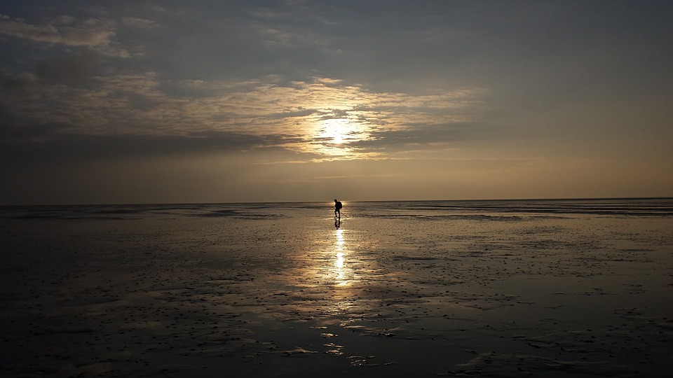
Getting out to Schiermonnikoog is always a great idea. The widest beach in Europe is right here, and so are opportunities for mudflat walking because most of the sandbank is covered in shallow (walkable) waters.
Situated between Rottumerplaat and Ameland, Schiermonnikoog is often considered a Dutch national park. Around 1640, the aristocratic Stachouwer family bought Schiermonnikoog and used it as their private property for centuries.
READ MORE | Wadlopen in 2026: your guide to mudflat walking in the Netherlands
Since then, it’s been passed from owner to owner several times.
After the people of Schiermonnikoog revolted against Maria Stachouwer in the 18th century, before the Napoleonic Wars, the island was passed to the Dutch poet John Eric Banck from 1858 to 1893.
Bank improved this land’s agriculture by planting a hardy grass species that would withstand future conditions. At the end of his run, he sold the island to a German count, Hartwig Arthur von Bernstorff-Wehningen.
Finally, at the end of World War II, Schiermonnikoog was confiscated by the Dutch State under Article III of the Decree on Enemy Assets.
READ MORE | World War II: the Georgian uprising on Texel
Today, it’s a beautiful island, perfect for nature lovers — whether you love hiking, walking along the coastline, or getting your adrenaline pumping with water sports.
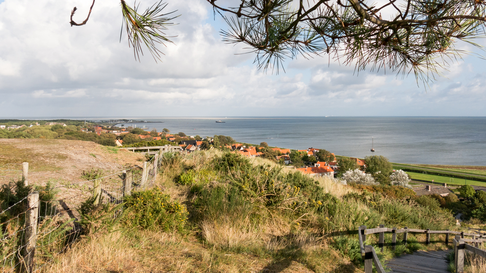
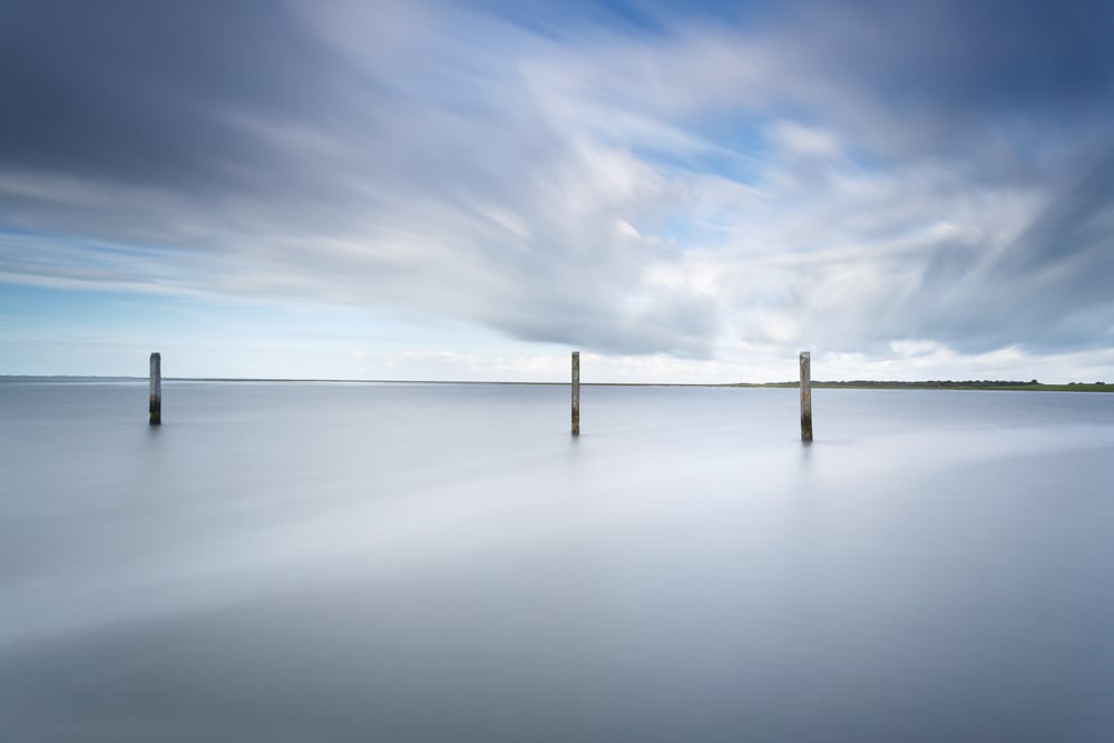
🌅 Mudflats behind the Dutch Islands
Behind the Dutch islands is a large stretch of semi-solid ground known as the mudflats. They stretch between the Wadden Islands and the mainland of Denmark, Germany, and the Netherlands.
You’ll feel just like Jesus walking on water, but maybe a bit more stable. This is where you can really see the true beauty of the Netherlands in all its flatness. Breathe in, breathe out, and enjoy the massively wide open space.
If you want to walk with a purpose, there are plenty of guided tours to take here. What are you waiting for?
How many Dutch islands have you been to? Tell us in the comments below!


I have been to Schirmonikoog only. In 1972 ging ik wadlopen naar Schirmonikoog met 14 andere Amerikanen en een groep Nederlanse jongens ook.
I am reminded of a TV drama series about the islands. Sil de Strandjutter. If you can find it, it’s an entertaining view into old times.