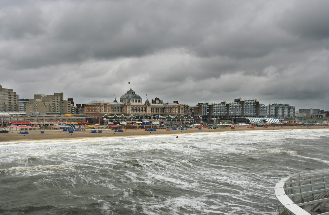
It’s that time of the year again: the Netherlands is getting ready for rain, rain, and more rain. Oh, and wind.
Thursday will be particularly chaotic, as a storm will bring wind gusts of up to 90 km/h. And this isn’t just any storm: it’s storm Ciarán, which has been making its way towards Europe for the past few days.
According to RTL Nieuws, the storm will hit England and France the hardest, but the Netherlands might face some of it as well.
A stormy Thursday, followed by… another storm
While it’s still unsure how much Ciarán will affect us here in the Netherlands, we know that the Dutch coastal areas will face the worst of it.
It all starts in the night from Wednesday to Thursday. First, a “whole bucket of rain comes down”, Marc de Jong from Buienradar tells RTLNieuws.
READ MORE | Why does it rain so much in the Netherlands?
Then it’s time for some intense wind. According to Weeronline, gusts of wind can reach 75 km/h throughout the Netherlands, and up to a whopping 90 km/h by the sea.
@florlopezmu05 Wait for it… #netherlands #eunicestorm #storm #windy #biker #shit ♬ original sound – Florencia Lopez
“Maybe it will come to wind force 9, that would mean a storm”, says De Jong. 💨
The best (worst) part? Right behind storm Ciarán, a new stormy area is brewing — waiting to take over the Netherlands.
Prepare for traffic troubles
October has been pretty consistent with the rain, and November is expected to be much the same. Combine that with the dark and windy times of the approaching winter, and it’s to be expected that traffic conditions are a bit less safe.
READ MORE | Keep those pyjamas on! Experts urge to STAY HOME during storm Ciarán
Sprinkle in Ciarán’s 90km/h gusts of wind, and we’re looking at a pretty daunting traffic situation on Thursday.
How will you protect yourself from storm Ciarán? Tell us in the comments!


Im in love with alfonso