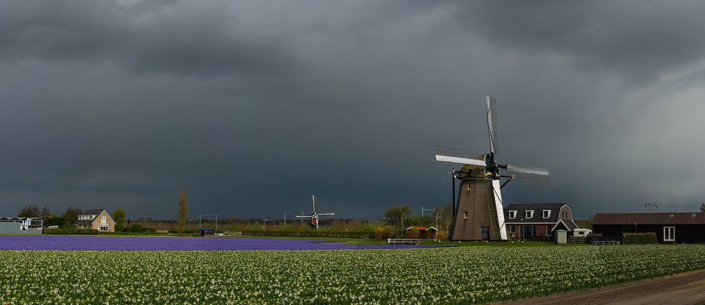
If you need excuse for a week-long grasse matinée (a sleep-in), as the French call it, now’s your chance. The first storm to hit the Netherlands since August is now expected to make its début several days sooner, on Sunday evening instead of Tuesday, according to RTL Nieuws.
Code Orange?
The storm will descend upon the Netherlands from Britain with a wind force of 9 and a speed of up to 120 km per hour on the coast, cruise over to the inland at 100 km per hour, a dangerous level especially for traffic. It is possible that the KNMI (Koninklijk Nederlands Meteorologisch Instituut) will issue a Code Orange, which is only reserved for extreme weather conditions.
Ciara the Storm
Since September 2019, the KNMI has taken to naming its storms (along with weather institutes in Great Britain and Ireland) in the hopes that this personification will make people take storms more seriously. So if you stay indoors and away from Ciara, you’re doing your part.
Adding to the chaos
It is likely that turbulent weather will result in delays and cancellations. Adding to commuter distress, the NS announced that railway work commencing on February 8 will disrupt train lines (particularly those to Leiden between the 8th and the 16 of Feb).
So instead of snow, climate change brings us storms instead.
Would you rather have snow or storms? Leave your answer in the comments below!
Feature image: nikontino/ Flickr


