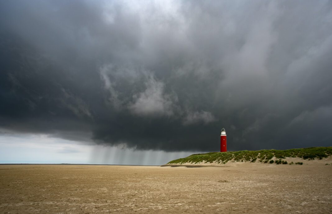
We hate to be bearers of bad weather news, but a member of the Dudley and Eunice storm duo gained strength, prompting the KNMI to issue a code orange warning.
As of Friday afternoon, and due to a chance of very heavy wind gusts (wind force 8) of 100-120 km/h, large parts of the Netherlands will fall under a code orange placed by The Royal Dutch Meteorological Institute (KNMI).
Storm Eunice arrives tomorrow
According to the NOS, the storm is expected to make landfall in the afternoon around 2 p.m, where the peak will extend from Friday’s afternoon through the evening. Saturday evening, the wind force is expected to decreases.
Preparations are underway across the nation for the stormy day tomorrow. The Municipal Health Service (GGDs) already announced the closing of several test and vaccination sites. Simultaneously, the Central Agency for the Reception of Asylum Seekers (COA) is moving asylum seekers from temporary emergency shelters to sturdier locations.
Concerns over dangerous weather
The KNMI explains that a code orange environment has a high risk of falling trees, loose branches and flying objects. The warning also alerts for dangerous traffic situations which can lead to longer travel times.
“It’s going to be intense,” explains Buienradar meteorologist Maurice Middendorp to RTL Nieuws, “If you have to hit the road tomorrow, for work, for example, I would consider not doing that. Around that time there are also heavy showers, so for motorists that is bad.”
According to the current model, Eunice will be swirling all across the entire Netherlands in a rare phenomenon. “You don’t see that very often,” comments Middendorp.
Be safe and follow DutchReview for the latest weather-related news from the Netherlands.
Feature Image: Evgeni Tcherkasski/Unsplash


